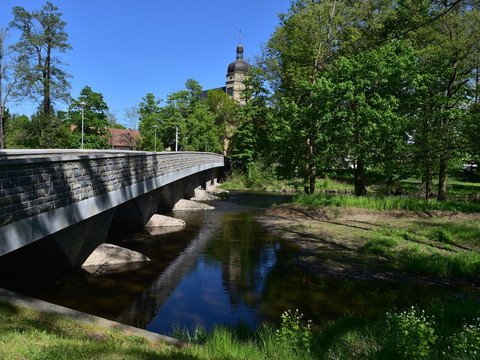
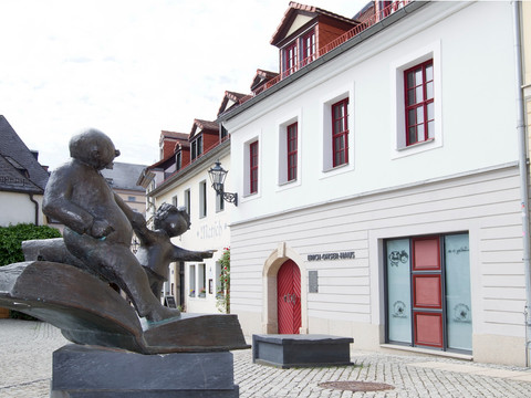
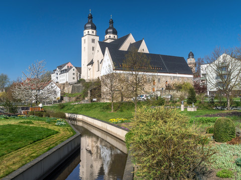
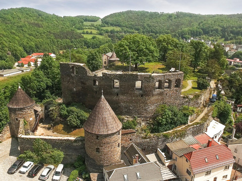
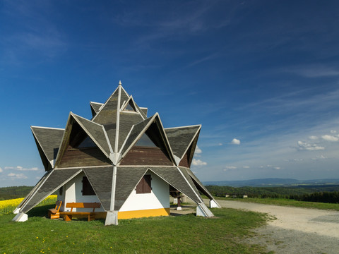
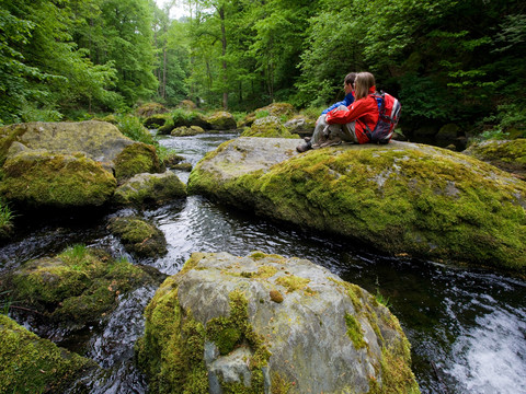
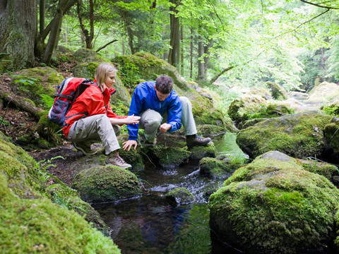
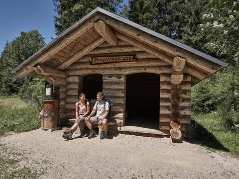
Experience your personal symphony of nature. Enjoy 12 varied stage hikes on the Vogtland Panorama Trail through the enchanting landscape of the Vogtland. The most comfortable way to do so is to take advantage of our travel offer “Hiking without luggage”.
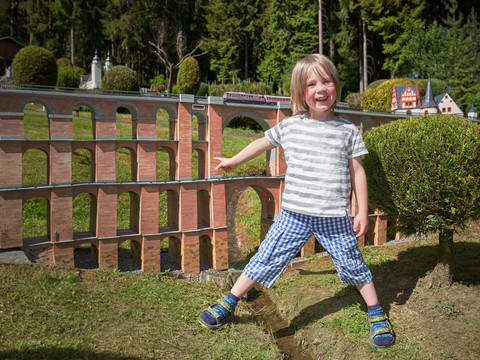
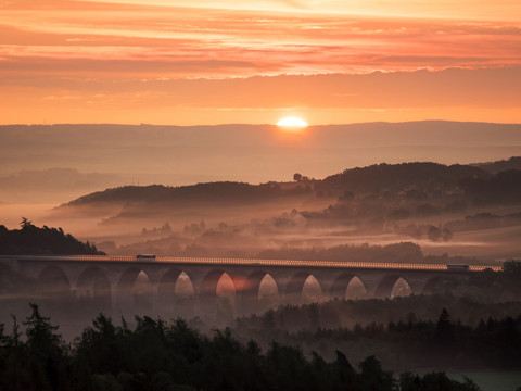
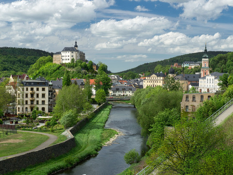
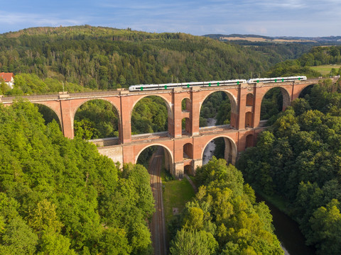
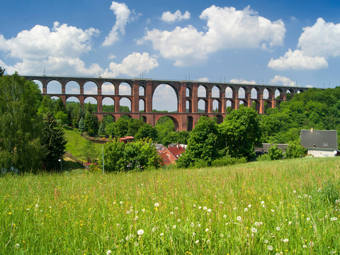
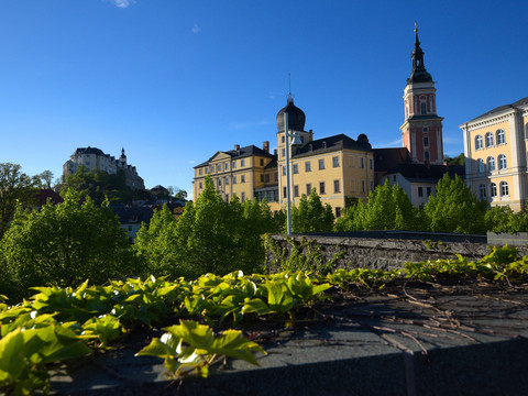
The 225 most beautiful kilometres through the Vogtland start and end at the “Göltzschtalbrücke”, the world's largest brick bridge. With 12 daily stages between 12 and 24 kilometres, the circular route is manageable for most experienced hikers. However, shorter tours are also possible in the individual sections. Via the steep track called the “Köhlersteig”, the trail first leads you in direction of Greiz in the Thuringian Vogtland, then through Vogtland Switzerland and westward past Plauen, the town of lace.
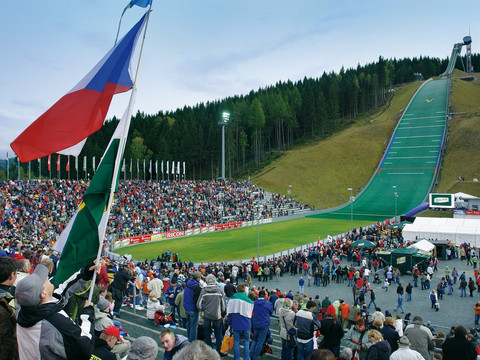
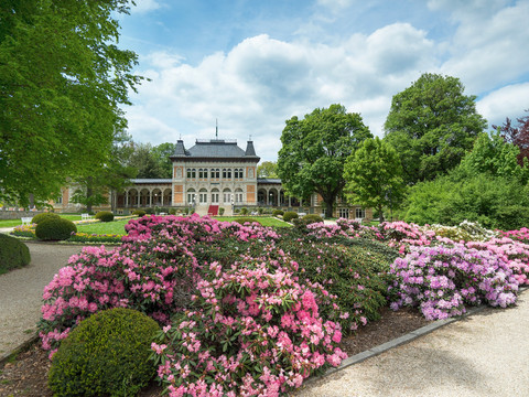
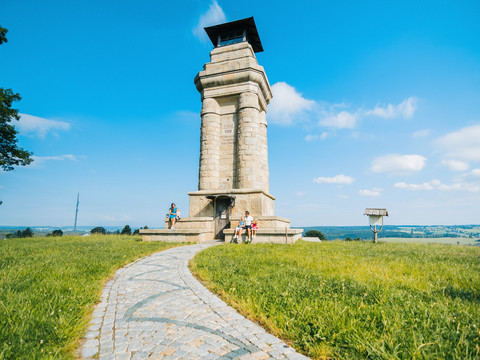
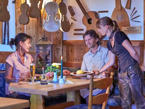
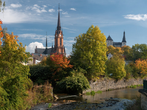
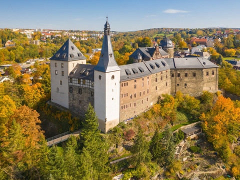
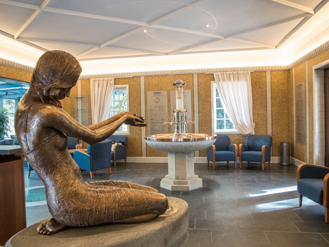
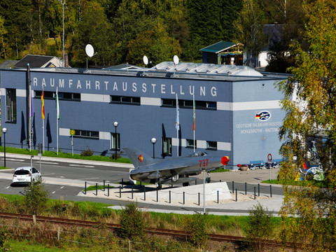
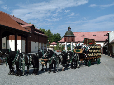
The next stages cross the legendary Burgstein region, past the Pirk dam and Oelsnitz, before the Vogtland Panorama Trail reaches the Saxon State Baths of Bad Elster and Bad Brambach. After a detour to the Czech Republic, hikers will find themselves in Markneukirchen where they can experience the so-called “Musikwinkel” (musical corner) with its long tradition, including the towns of Erlbach and Klingenthal. Here, the 936m-high Aschberg mountain is already waiting. The trail continues through Morgenröthe-Rautenkranz with the German Space Travel Exhibition to the Grünheide Forest Park where it turns towards the Western Ore Mountains until the town of Schönheide becomes visible. Behind the village of Wernesgrün, famous for the Wernesgrüner Beer, soon Rodewisch and Lengenfeld come into view, then the stately Mylau Castle, until the trail finally reaches the place where it started, the Göltzschtalbrücke bridge.

