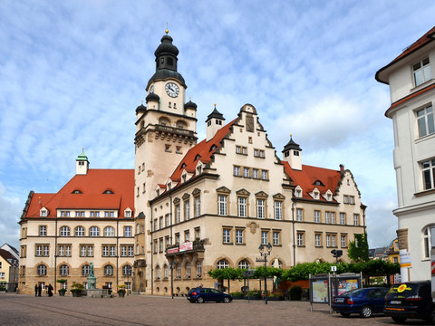
The starting point of this stage is the roundabout in the city center. We head north into Klosterstraße and turn left into Staupitzstraße. At the end, we cross Rosa-Luxemburg-Straße and continue straight past the swimming pool parallel to the Mulde. Here we turn left and follow the river course for 1.5 kilometers. We first pass under a railway bridge, then turn left and continue under the B 175. After the road bridge, we turn right and immediately left behind the mill ditch. At the priority road, we turn left again and continue straight over the B 169. From now on, we go straight ahead, with the river to our left. After 3 kilometers in Technitz at the priority road, continue straight. After another 1.5 kilometers, we pass under the railway tracks again at Bischofswiese and then turn left again immediately. In Westewitz, at the T-junction, we turn left over the tracks and immediately right again. We follow the course of Scheergrundweg for 3.5 kilometers and turn left at the waterworks, then after another 2.5 kilometers, we can admire the former Cistercian monastery Buch after crossing the railway underpass once more to the left. The route continues along the Freiberger Mulde to Paudritzsch, here we keep right at the fork and then close to the river. We come directly past the station in Leisnig, then keep right and cross the railway tracks again onto the street An Der Muldenwiese. We come to the S 36, turn left here, and immediately after the railway bridge, sharply to the right. We keep to the railway tracks and turn right 100 meters behind the church onto Fabrikstraße crossing the tracks. Then we pass under the main street on the right, follow the path, and take the following turn right towards Altleisnig. In Altleisnig, we cross the Mulde bridge and then immediately turn left through Wiesenthal and Marschwitz. At the end of Marschwitz, we take the left turn along the Freiberger Mulde. We pass under a railway bridge again and keep close to the river course on our left for 2.5 kilometers until we reach Tanndorf. On the opposite side of the river, we see Podelwitz water castle. At the intersection in Maaschwitz, we turn left. After a further 2.5 kilometers along the dike path through Erlln, we reach a T-junction. Here we turn left and reach the confluence of the Freiberger and the Zwickauer Mulde in 100 meters. However, at the T-junction, we turn right and continue along the United Mulde.

