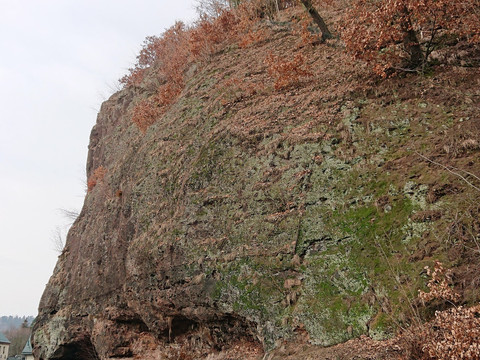
Comfortable hike without significant inclines from the Freital-Weißig bus stop via Opitzhöhe, past Opitzgrund to the Backofenfelsen viewpoint and then downhill to Hains Geopark ranger Dr. Lutz Wagner
resultsUnfortunately, we couldn't find any results for you.
Filter
Saxony is looking forward to welcoming you!
Recommended by our holiday experts
Booking hotline: +49 (0)351 491700
Planning tips
Current weather in Saxony
Weather tips
Culture, Nature, Family & Wellness
Top highlights
Beautiful nature
© TMGS / Dennis Stratmann
Family fun
© Carsten Beier
Cultural discoveries
© S. Rose Fotografie
About Saxony
Top highlights
Plan Your Trip
Top highlights


