When music inspires. Of course, music is something very subjective. One person hikes with earplugs and can switch off best with heavy metal, the other prefers to enjoy the sounds of nature. The most famous songwriter in the Ore Mountains, as we would call him today, was Anton Günther at the beginning of the 20th century. A border wanderer between Prague and the Ore Mountains, he more than adored his homeland and wrote countless songs. We come across his name several times today.
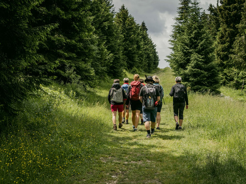
Many successful winter sports athletes come from Oberwiesenthal, such as Sylke Otto and Jens Weißflog. Past the ski arena, the ridge trail leads through the forest. Again and again we cross the circuit for the roller skiers. Mutual respect ensures accident-free outdoor fun for both sides. Now we come across the Anton Günther Trail. It runs for 57 km through Saxony and the north-west of the Czech Republic. We follow it in parts every now and then. After the first houses of Tellerhäuser, the trail descends into the Pöhlwasser valley to the Wettin Fountain with its refuge and Anton Guenther memorial stone. Here we take a break from hiking. What is your favourite sandwich? Liver sausage, minced pork or egg cream? Our TIP: Always pack a sandwich (Stulle, Schnitte, sandwiches), as there are not always places to stop for refreshments on all stages of the Kammweg. Well fortified, we arrive at Ehrenzipfel. The border to the Czech Republic is very close here - only once across the stream. We march up towards Rittersgrün, which is often described as a picture book village. The Saxon Narrow-Gauge Railway Museum, which railway enthusiasts have created over years of work, is worth seeing.
Milestones: Fichtelberg - wave swing - Sparkasse ski arena - Bächelhütte - NSG Börnerwiese - Tellerhäuser - Wettinplatz with Fuchslochstollen and fountain - Rittersgrün (Zollstraße).


