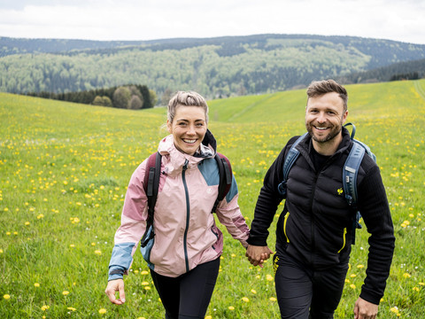
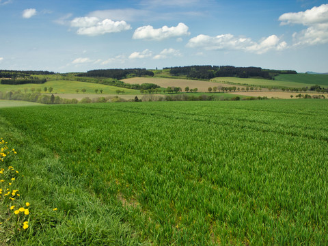
Relaxed hiking and sleeping in the middle of the forest! Let's enjoy this day. 12 kilometres and just under 300 metres of altitude give us a leisurely hiking day. We will spend the night in the middle of the forest. But don't worry - we won't spend the night in a tent, we won't need to heat up tinned soup and we won't have to fend off wild boars. Hiker-friendly hotels in the middle of the forest are inviting.
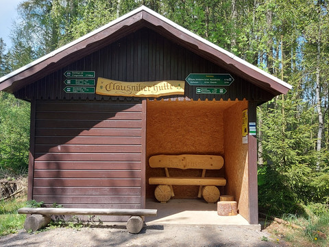
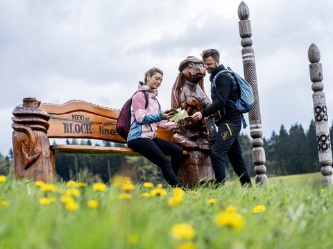
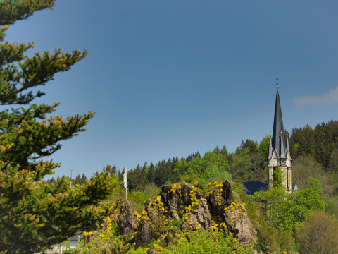
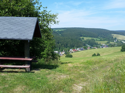
As early as the 1930s, a leaflet about Holzhau was published, advertising the words "Ideal summer resort" and "The tempting ski paradise". Here, at an altitude of 790 m, summer retreats are still guaranteed today. From the Fischerbaude above the ski lift, we hike downhill to Rechenberg. On the way, the wooden milestones and sculptures of the Blockline will surprise you - a special kind of cycling experience. Would you like a Rechenberger? This refers to the Rechenberger beer from the Mulde Valley. Rechenberg was granted brewing rights as a knight's estate brewery as early as 1558. Nowadays, the brewery only produces draught beer. A visit to the museum with a small beer tasting is well worthwhile. The Kammweg leads uphill to a great resting place. Passing the Waldeck, we reach Clausnitz at altitude. Wonderful views let our thoughts wander far and wide. In the valley we cross the Rachel Bridge. Timber was once rafted here from the Bohemian forests. Shortly after, the XXL hiking sign of the Kammweg makes a powerful impression, guiding us safely up to the forest. We follow the old post road to the cross fir in Sayda. Sayda was first mentioned in a document in 1207 as a resting and customs station for traders. Not only do we take a short rest at the Kreuztanne, but we also put up right here in the Waldhotel.Milestones: Holzhau - Rechenberg-Bienenmühle with brewery museum and eco-pool - Saydaer Weg - Neuclausnitz - Martinsweg - "Rachel" raft ditch - Alte Poststraße - Sayda Kreuztanne

