It's true, there are regions that are better known and their long-distance hiking trails too. But that is precisely what makes the Kammweg so attractive. The whisper of fir trees instead of city noise, badgers instead of Dax and small villages instead of tourist hotspots. Good luck! The 288-kilometre ridge trail crosses the Ore Mountains and Vogtland. Whether you want to hike the trail in one go or just for a few days - the Kammweg is an all-rounder! The Kammweg gave us the chance to experience what we do. We were able to calm down and find our own rhythm in a modern age of speed. And the idea that faster is not necessarily better is slowly taking hold. Sabine M. and Joachim L.
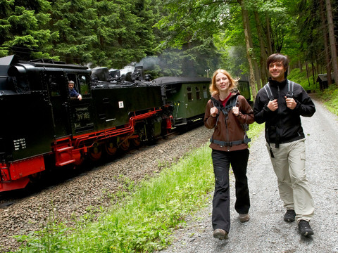
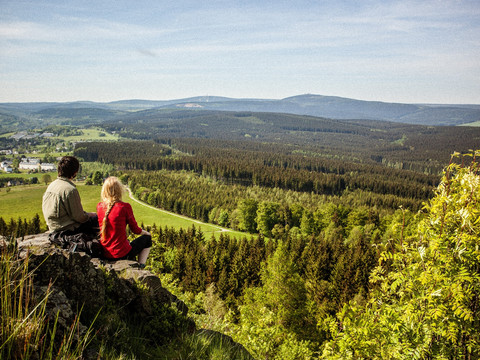
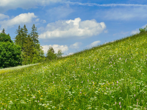
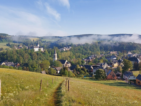
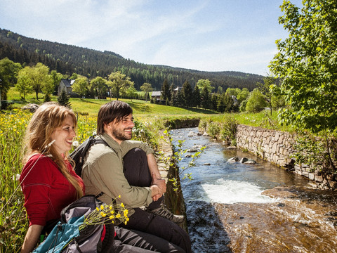
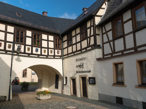
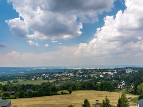
Badger instead of Dax - get on board and switch off on the Erzgebirge-Vogtland ridge trail with its many views. Rare rock formations, flowering mountain meadows, shady forests and refreshing stream valleys make for a relaxing hike. And along the way, you will discover extraordinary traditions and culture, such as evidence of mining history, rare crafts and steam trains.
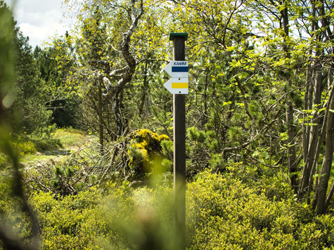
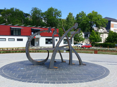
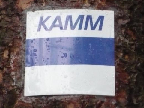
Marking: The Kammweg Erzgebirge-Vogtland is marked throughout with the blue horizontal line and the lettering KAMM in accordance with the guidelines for quality trails of the German Hiking Association.
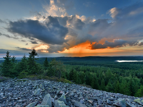
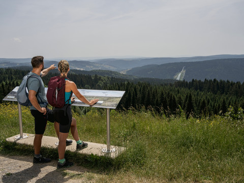
Getting on and switching off also means hiking and broadening your horizons - without a cell phone, no cell phone reception, no checking share prices. On the Saxon-Bohemian mountain ridge, fox and hare say good night to each other - because they still exist. Experience wildlife, untouched nature, exciting views of a surprisingly beautiful landscape - that's why hiking here is so good.
Marking: The Erzgebirge-Vogtland ridge trail is marked throughout with the blue horizontal line and the KAMM sign in accordance with the guidelines for quality trails of the German Hiking Association.
And if you would like to create your own digital tour book during your ridge walk, then use the Digital Hiking Needle app. You can collect points at the same time and receive the hiking pins in gold, silver and bronze, depending on the stage, either digitally or as a pin.
Note: On some stages, refreshment stops and overnight accommodation are only available to a limited extent. Please check the opening times before your hike. We recommend rucksack provisions for the route. The local tourist information offices and the Erzgebirge and Vogtland tourism associations will be happy to provide information. And if you run out of drinking water, the locals along the way will be happy to help you out.
We are happy to take care of your all-round carefree package for relaxed hiking pleasure! Recommendations for your hiking vacation And please note: The season on the Kammweg is May - October!
Looking for your next hiking destination? From the Kammweg directly on to the legendary Rennsteig!

