© A. Klich, LEIPZIG REGION

Hike from Eilenburg to Bobritzer Damm

At a glance

  • Start: Eilenburg, train station
  • Destination: Eilenburg, train station
  • Easy
  • 9,59 km
  • 2 hours 15 minutes
  • 7 m
  • 105 m
  • 100 m

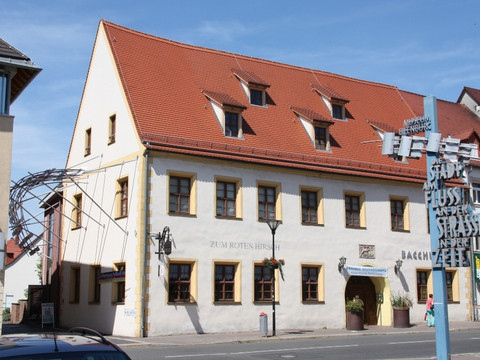
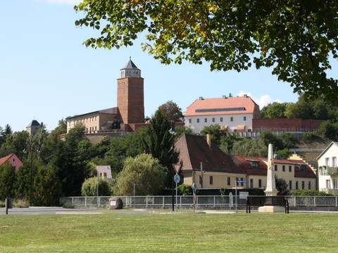
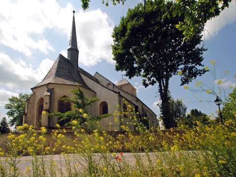
Short, not fully signposted, but clear hiking route from the town of Eilenburg to the Bobritzer Damm through the Mulde floodplain landscape.

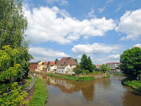
The Bobritzer Damm, which is also sometimes referred to as the Kollauer Wehr, is a popular destination for hikers and cyclists and can be reached from Eilenburg's city park via the former planetary hiking trail. This is where the Mühlgraben has split from the Mulde for over 300 years. Both flow around Eilenburg-Mitte like an island and then reunite. Not only the nature, but also the water management structure, which also has a fish ladder, is amazing.

Tour dashboard

Pavings

  • Street (10%)
  • Tarmac (39%)
  • Gravel (7%)
  • Hiking trail (30%)
  • Path (14%)

Weather

General information

Next steps

It appears that you are using Microsoft Internet Explorer as your web browser to access our site.

For reasons of functionality and security, we recommend that you use a current web browser such as Firefox, Chrome, Safari, Opera, or Edge. Internet Explorer does not display all the content of our website correctly and does not offer all its functions.