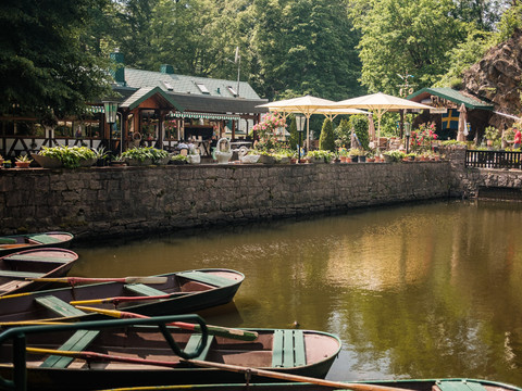
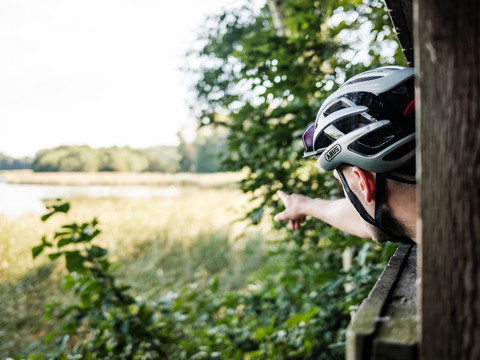
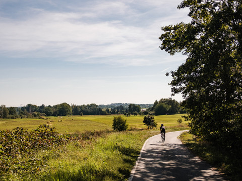
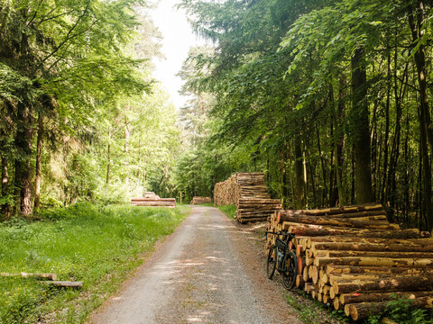
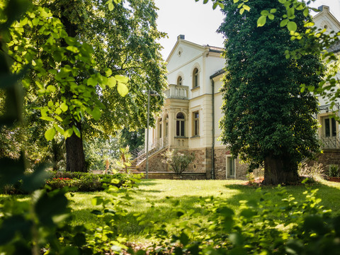
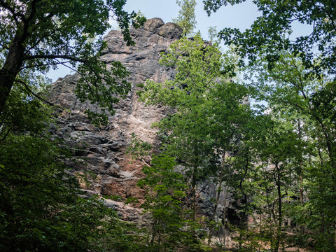
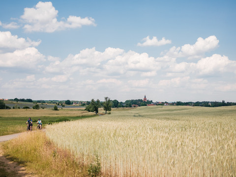
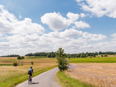
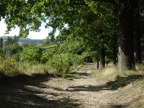
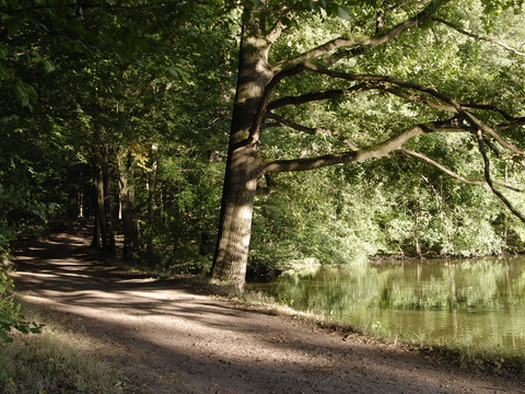
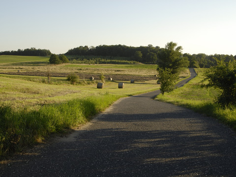
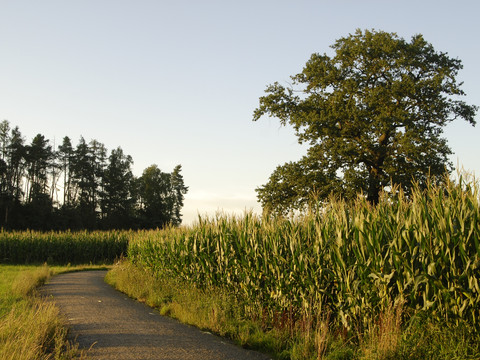
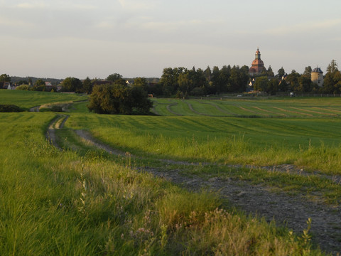
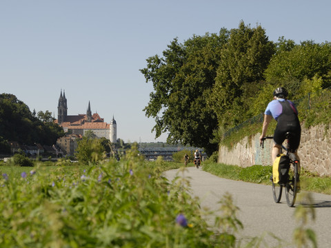
This gravel highlight leads over a varied route on first-class gravel roads through the picturesque right-bank Elbe landscape around Meissen and Moritzburg. Over approximately 76 kilometers, you will experience impressive nature with dense forests, picturesque pond landscapes, and wide fields. Historical sights as well as charming towns and villages invite you to linger with their history and architecture.
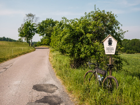
The route starts at one of the centrally located parking lots in Meissen and already offers an impressive view of the cathedral and the Albrechtsburg Meissen at the beginning. Upon leaving the city, an extensive open landscape opens up, which belongs to the Nassau landscape protection area. After crossing the protected area, you reach the first outskirts of Weinböhla with a wide view over the fields. At the Grutschenteich pond, the route branches off onto a beautiful, natural path until you finally reach Weinböhla.
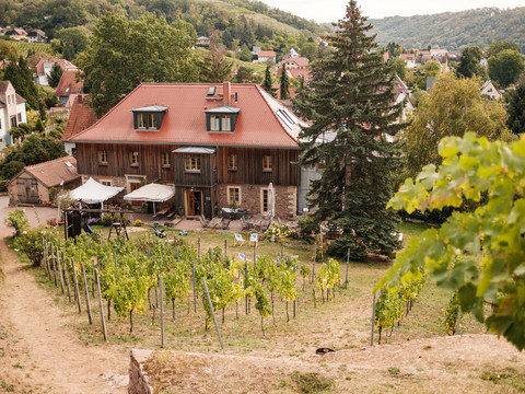
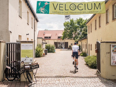
The route continues through Weinböhla, passing the VELOCIUM, the Saxon bicycle experience world. Here, among other things, a pump track awaits everyone who wants to improve their riding technique. Then it goes over the town hall square towards the station and to the northeastern settlement edge of Weinböhla. At this point, the landscape opens up again, giving the view of gentle hills and vineyards that are typical for the region.
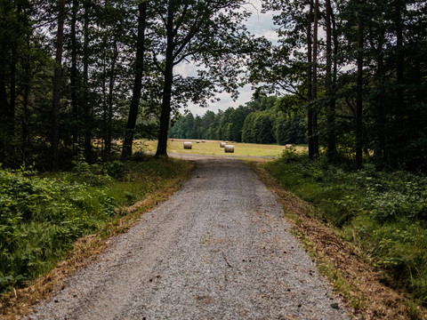
The tour now leads through the Friedewald on a bright forest path, one of the largest forest areas in Saxony. On varied path surfaces, it continues along a creek to the Gellertberg. Here is a small former hunting lodge, the today 'Gellerthäuschen,' an artificial ruin of a tower built in 1824, and the open-air stage which is still the site of various events. From here, there is a wonderful view far to the south and west over the vineyards, the Nassau, and the Spaargebirge mountains.
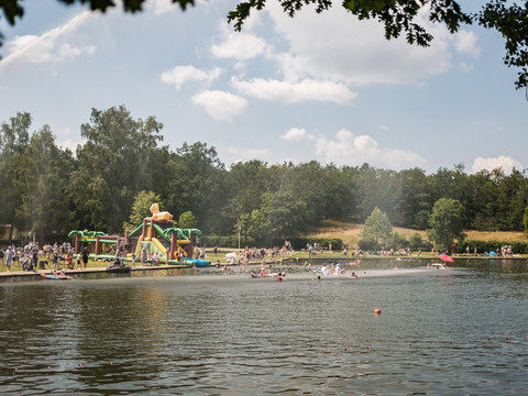
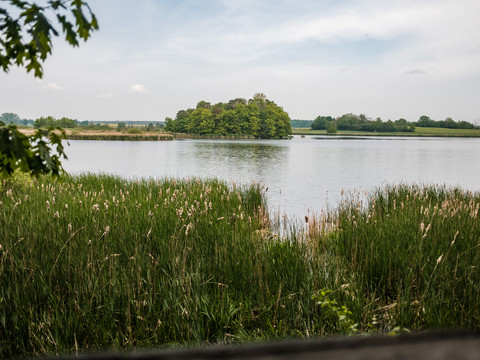
The journey continues to the Waldbad Oberau, where a stop in summer provides refreshment. Past the campsite, the route now leads into the open forest and meadow landscapes of the Moritzburg pond area. Especially tranquil are the Heidehofteich, Köckritzteich, and Silberteich ponds. This section is very scenic and offers some short, flowy passages – a real highlight for all who want to experience nature from the saddle and enjoy technical challenges.
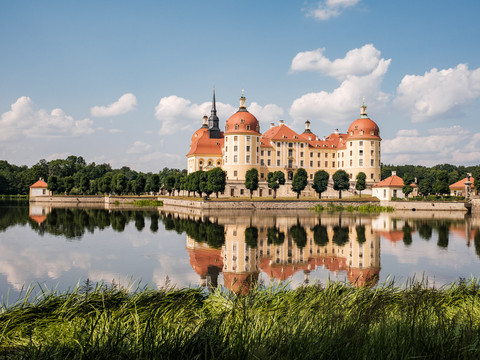
Finally, the route leads to Moritzburg, known for the impressive hunting and baroque castle. The route then winds further through the forest area, passing numerous sights such as the charming Fasanenschlösschen, the only historical lighthouse in Saxony, and the game reserve, a gem for native animals.
Those who want to take a break can make a detour to the impressive castle or discover further cultural highlights such as the historical Saxon state stud farm, the Käthe Kollwitz House, the Red House, or the signposted BRÜCKE route. Moritzburg thus offers not only a break for body and mind but also many opportunities to experience the rich history and culture of the region.
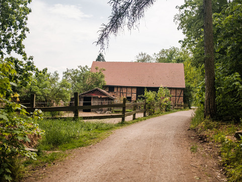
Afterward, the route goes back through the Friedewald on forest and service roads. Here, you pass the wolf monument, which commemorates a driven hunt of Elector Johann Georg I in 1618. You pass the Dippelsdorfer pond landscape, where the eponymous Dippelsdorfer pond is circled.
The route then leads through the forest and further directly through the town of Coswig, past sights such as the Folprecht blue-dyeing factory, the 'Old Church,' one of the most beautiful preserved Saxon village churches from 1497, and the Karrasburg museum, a gem full of historically significant treasures.
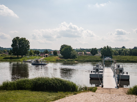
The last kilometers back to Meissen run along the Elbe cycle path, past the bathing lake in Coswig-Kötitz, which also invites you for a refreshing cool-down on warm days, making it the perfect reward after a beautiful and varied ride.
Surface conditions:
28.0 km asphalt, 3.1 km road, 15.3 km gravel road, 26.1 km natural path
moderate and asphalted climbs, forest paths well maintained

