© Uwe Schwarz, TGG Oberlausitzer Bergland/ Uwe Schwarz

Borderland route

At a glance

  • Start: Schirgiswalde hiking car park Gondol pond
  • Destination: Schirgiswalde hiking car park Gondol pond
  • Medium
  • 37,06 km
  • 2 hours 44 minutes
  • 279 m
  • 442 m
  • 279 m

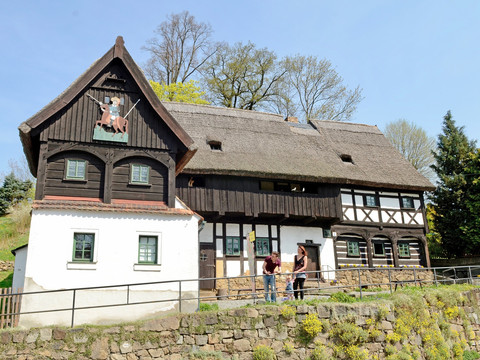
This route takes you straight to Ebersbach with one of the sources of the Spree and further across the border to the Czech Republic.

This route takes you straight to Ebersbach with one of the sources of the Spree and further across the border to the Czech Republic. There, you can get to know border villages and return to Germany via the Rožany border crossing.

Tour dashboard

Pavings

  • Street (25%)
  • Tarmac (46%)
  • Gravel (6%)
  • Hiking trail (20%)
  • Path (2%)

Weather

General information

Next steps

It appears that you are using Microsoft Internet Explorer as your web browser to access our site.

For reasons of functionality and security, we recommend that you use a current web browser such as Firefox, Chrome, Safari, Opera, or Edge. Internet Explorer does not display all the content of our website correctly and does not offer all its functions.