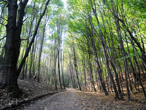
We start in the direction of Oberpesterwitzer Straße, turn right twice and walk uphill along Am Jochöh. After the last house, we leave the road to the left and continue through the forest to the Jochhöhschlösschen, from where we reach the village center of Pesterwitz. At the village square, we continue between the inn and the historic manor house in the direction of St. James' Church, which we leave to the right. At the pottery, continue straight on downhill to the 8th mouth of the Deep Elbe Tunnel. We follow the path downhill to the Almabach stream and turn right at the foot of the Burgwartsberg. Back on the road, we follow it to the first houses, where we turn right and walk along the Hammerbach stream to the former Kohlsdorf inn, where we cross Pesterwitzer Straße and turn left again at the end of the vineyard into the valley and reach Wurgwitz on the other side.
Along the northern edge of the village, we descend again into the Wiederitz valley. At Gartenstraße, we turn left towards Niederhermsdorfer Hof. Turn right onto Zur Quäne, turn right uphill before the school and after the bend turn left onto the hiking trail, which we follow to Saalhausen. From there, continue through the Weißiger Wald forest to Weißig and along the edge of the village to the bus turning area and on to the triangulation pillar on the Opitzer Höhe. At the crossroads, we turn left and walk along the edge of the forest, then along the Förster-Claus-Weg towards Hainsberg, cross Hirschbergstraße in the valley and walk over Taubenleite and Backofenfelsen to Breiter Grund, which we follow down to Tharandter Straße.
We continue along Somsdorfer Straße and Hainsberger Straße. After crossing the narrow-gauge railroad, we turn left into Weißeritzgässchen. Back on the main road, we follow it a few meters towards the city until we turn right into Kirchstraße. After the town, we turn left and then right again and follow the path to Eckersdorf. At the end of the village we turn left and walk past the Gimpel (344m) and then right past the outskirts of Schweinsdorf and Niederhäslich towards Poisenwald. At the Steinernes Tisch (stone table), turn left into the valley and uphill again on the other side to Kleinnaundorf. At the old railroad station, the route continues to the left along the former route of the Windbergbahn railroad, which we leave to the left after the station, cross Kohlenstraße and keep left until Am Segen. After the miner's grave, we turn right towards Windberg, turn left at the animal shelter and follow the path to the King Albert monument.
From there, the path leads back towards Kohlenstraße, which we follow to Knappenweg, where we turn left downhill to Burgker Straße. We follow this road to the right until the traffic circle, continue straight ahead and turn left at Fernblick into Kesselgrundweg. Once we reach Burgker Straße, we first turn right, then left across Corneliusstraße, left into Karl-Stein-Straße and down Collmweg into Weißeritztal. We pass under the railroad line and cross the river. At Tharandter Straße, we turn left to the Einnehmerhaus, where we turn right into Steigerweg. After arriving at Carl-Thieme-Straße, we follow it until we reach the starting point again after a few meters.


