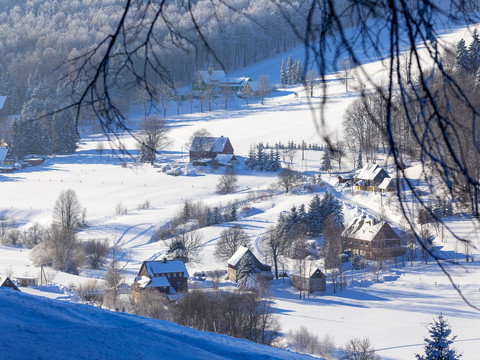
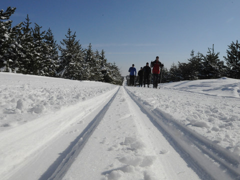
The L4 loop trail is away from the tourist attractions and invites "undisturbed" cross-country skiing.
Start at the central trail and hiking parking lot Zinnwald on the K-wing. Via trail L1 you reach the intersection Georgenfelder Weg/I-wing/Neugrabenweg and thus the starting point.
First keep right and follow the trail parallel to the Neugraben. After about 950 m turn right into Kreuzweg. After about 1.5 km you come to a fork.
Straight ahead via Z4 you now have the option to reach Rehefeld (Grenzweg) or, via the ski hiking trail S9 continue to Neurehefeld, to the Hemmschuh.
To follow the L4 keep right and follow the climbs to Teichweg. On Teichweg you pass Wüster Teich, keep left before it, then right at Gabelweg and so return to the starting point of the loop.
More information about cross-country skiing in the Altenberg holiday region can be found here.


