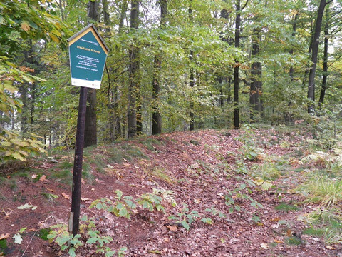
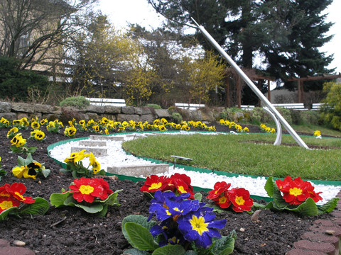
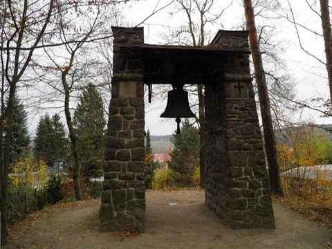
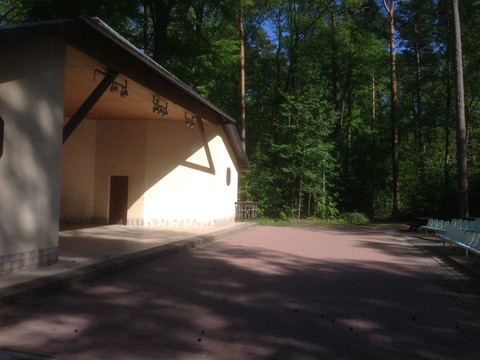
From the Roßmäßlerbau in Tharandt, the route first leads to plate 22 of the geological hiking trail from Kurort Hartha to Tharandt "Flood 2002 in Tharandt", a memorial stone and further information boards. After a short turn across the parking lot, you reach plate 22: "Hochwasser 2002 in Tharandt", a memorial stone and further information boards (F). Then you climb up next to the church to the castle hill. Here you can see plate 21: "Gneiss of the castle hill". From the castle ruin you have a beautiful view into three valleys, here you can also find plate 20: "Rocks as building materials". From the castle ruins you walk along Heinrich-Cotta-Straße and Amtsgasse through Tharandt. In Talmühlenstraße, a short detour to the right takes you to the former lime works of Tharandt with plate 19, where lime was mined and burned until 1913. On the further way in the direction of the health resort Hartha one passes the plates 18 "Tharandter Spalte mit Brekzie", 17 "Quarzphyllite im Talmühlengrund, 16 "Diabasklippen am Cottaweg" and 15 "Bach-Flussauen-Holozän". In the spa town of Hartha the eastern route of the Geological Open Air Museum ends and the Geological Hiking Trail begins. Via the spa square with its flower sundial and the Grillenburg stag, you reach the bell tower and the forest stage on the Hartheberg. Afterwards, it is worth taking a short detour to the right to the Prussian entrenchment. Along the Schneise 7 you first pass the plate 7 "Kugelpechstein" and then arrive at the snack bar Am Waldrand in Spechtshausen. The trail now continues to the Landberg with its inn. Here you will also find plate 5 "Time travel over the Landberg" as well as plate 6 "Knollensteine". With a magnificent view to the north over the Elbe valley to Lusatia, you reach the porphyry fan (plate 4). On the further way through Schmieders Graben there are the plates 3 "Geological disturbance with breccias" and 2 "Phyllite - slate" as well as the overview plate. You now walk through Mohorn Grund and meet the "Path of the rocks of the Triebisch valley", the KNOX incense factory as well as several old mouth holes. In Obergund you pass an allotment garden. Here you will find old mining relics: two pond remains, pits, dumps and an artificial trench. The route now continues to "Wüstarabien". Along the Triebisch river we first reach the Kirschberg refuge and then the porphyry rock "Jungfernloch". Arrived at the Ernemann hut, you turn onto the Schwarze Straße in the direction of Zigeunerplatz. You then follow the Warnsdorfer Weg to the Warnsdorfer Quelle with picnic area. The spring yields about 4 liters of water per second and supplied Tharandt with drinking water for decades. Via the Mauerhammer you go over the S-Berg to the Judeich hut. On the Judeich path along the edge of the Weißeritz valley through the "holy halls", a high beech stand with similarities of columns in cathedrals, you come to Cotta's grave. Near it there is also the viewpoint "Heinrichs Eck". Following the Mauerhammer, you finally reach the viewpoint Kienberg with a view of the new forest park, spa Hartha, Hartheberg and Landberg. After that, the trail goes down the valley back to the starting point.


