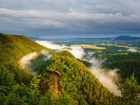
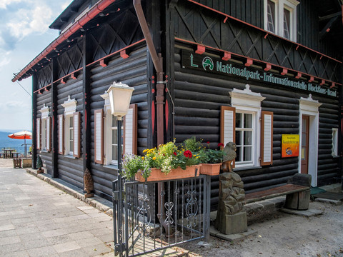
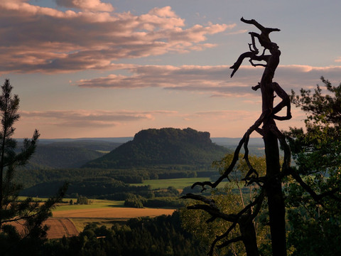
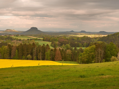
© Philipp Zieger, Tourismusverband Sächsische Schweiz

Malerweg, Stage 3: From Hohnstein to Altendorf (official version TV Saxon Switzerland)

At a glance

  • Start: Hohnstein
  • Destination: Altendorf
  • Medium
  • 13,96 km
  • 5 hours 30 minutes
  • 449 m
  • 348 m
  • 142 m

Hike of medium difficulty through the Saxon Switzerland National Park, 412 meters of altitude gain.

Hohnstein - Bärengarten - Halbenweg - Räumichtweg - Brandaussicht - Tiefer Grund - Dorfgrund - Waitzdorf - Waitzdorfer Rundweg - Mühlweg - Kohlichtgraben - Kohlmühle - Sebnitztal - Schwarzbachmündung - Mühlweg bis - Altendorf

GPS data updated 2021

Tour dashboard

Pavings

  • Unknown (81%)
  • Tarmac (2%)
  • Gravel (2%)
  • Hiking trail (6%)
  • Path (8%)

Weather

General information

Next steps

It appears that you are using Microsoft Internet Explorer as your web browser to access our site.

For reasons of functionality and security, we recommend that you use a current web browser such as Firefox, Chrome, Safari, Opera, or Edge. Internet Explorer does not display all the content of our website correctly and does not offer all its functions.