© Philipp Zieger, Tourismusverband Sächsische Schweiz

Hike from Königstein over the Lilienstein to Kurort Rathen

At a glance

  • Start: Königstein
  • Destination: Rathen Spa
  • Medium
  • 11,41 km
  • 3 hours 40 minutes
  • 394 m
  • 409 m
  • 113 m

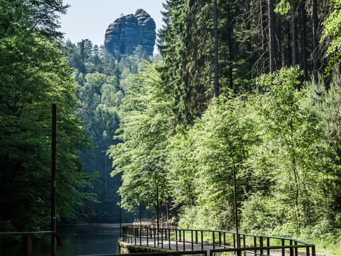
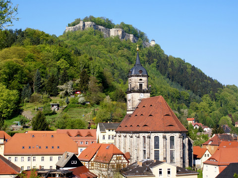
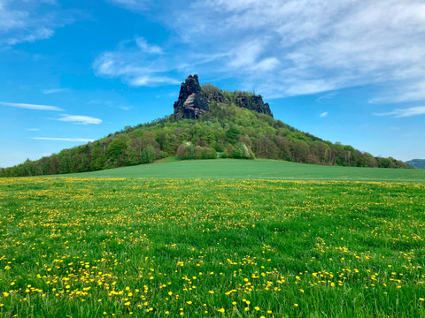
From the fortress town of Königstein, the route leads up to the striking table mountain, the Lilienstein. After a short climb, a great view opens up over large parts of Saxon Switzerland. On an idyllic path through the forest, the tour leads to the spa town of Rathen and to Amselsee, where you can take a leisurely gondola ride. You can learn interesting facts about the flora and fauna of the Elbe Sandstone Mountains at the nearby Amselfallbaude National Park Information Centre. The starting point in Königstein is best reached by S-Bahn from Kurort Rathen.

Königstein - Elbfähre - Halbestadt - Ebenheit - Lilienstein - Markierung blauer Strich (Fernwanderweg) - Kurort Rathen -  Amselsee - Kurort Rathen Gierseilfähre übersetzen auf andere Elbseite - Bahnhof

Tour dashboard

Pavings

  • Unknown (1%)
  • Tarmac (18%)
  • Gravel (30%)
  • Hiking trail (10%)
  • Path (38%)
  • Unknown (2%)

Weather

General information

Next steps

It appears that you are using Microsoft Internet Explorer as your web browser to access our site.

For reasons of functionality and security, we recommend that you use a current web browser such as Firefox, Chrome, Safari, Opera, or Edge. Internet Explorer does not display all the content of our website correctly and does not offer all its functions.