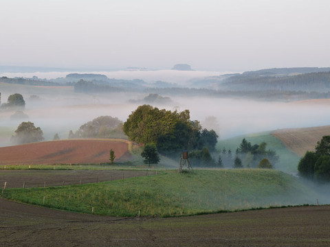
This round requires some physical fitness. There are various climbs to master. The landscape is very attractive.
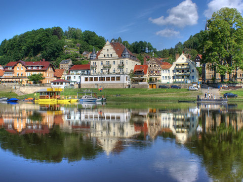
Our suggestion starts in Stadt Wehlen at the ferry. Of course, it is also possible to start in other places, such as Hohnstein or Kurort Rathen.
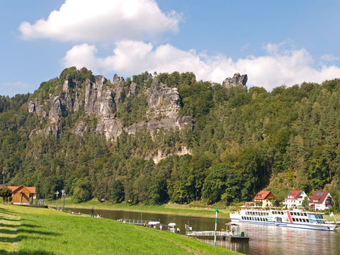
From the market, the tour leads a few metres up the main road and reaches the Wehlener Grund on the right. The area is part of the Saxon Switzerland National Park. About 50 kilometres of cycle tours are signposted there. The section in the Grund is one of the most impressive. Below rocks, the path winds its way up to the Basteistraße. The view down to the Elbe remains unforgettable, so the detour to the Basteiaussicht is almost obligatory.
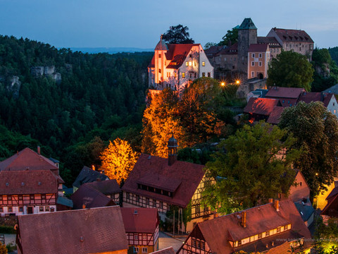
The cycle path to Rathewalde, Hohburkersdorf, Heeselicht and on to Hohnstein is well developed and marked with a yellow dot. The serpentines up to Hohnstein are challenging, so a rest break at the castle or the open-air swimming pool is recommended. At the open-air swimming pool, the route turns left onto Sebnitzer Straße and a little later right onto Lohsdorfer Weg. From Lohsdorf, the route leads through Goßdorf to Kohlmühle. The route continues here along Panoramastraße to Altendorf, Mittelndorf and Lichtenhain. There, a short round trip via Saupsdorf, Hinterhermsdorf, through the Kirnitzsch valley to the Lichtenhain waterfall leads back to Lichtenhain.
Back at the starting point in Lichtenhain, the route follows the already familiar route to Kohlmühle. The route leads along the Sebnitzbach stream to the Polenztal valley. Follow the Polenztal to the height of the Waltersdorfermühle. There the trail turns left to the S163, which you follow to the left for a short distance before turning right onto Rathener Straße. From there you roll comfortably down to Kurort Rathen and follow the Elbe to Stadt Wehlen.


